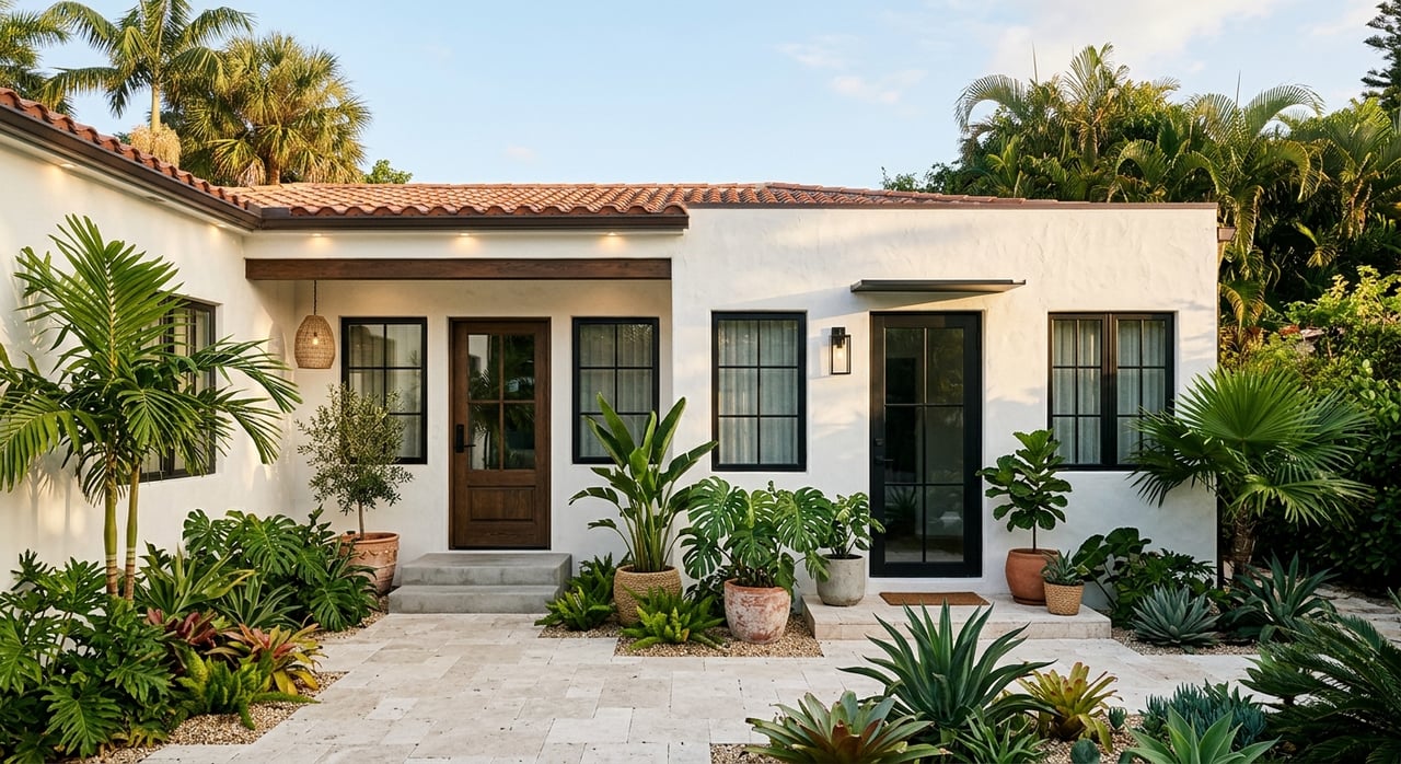
Buying a Fort Lauderdale waterfront home can feel like a dream move, but the wrong property can bring expensive surprises after closing. A beautiful view does not always tell you whether the dock is properly permitted, whether your boat can actually reach open water, or whether flood and insurance costs will affect your long-term budget. If you want to buy with confidence, there are a few critical checks that matter more than fresh paint and listing photos. Let’s dive in.
Start With The Shoreline
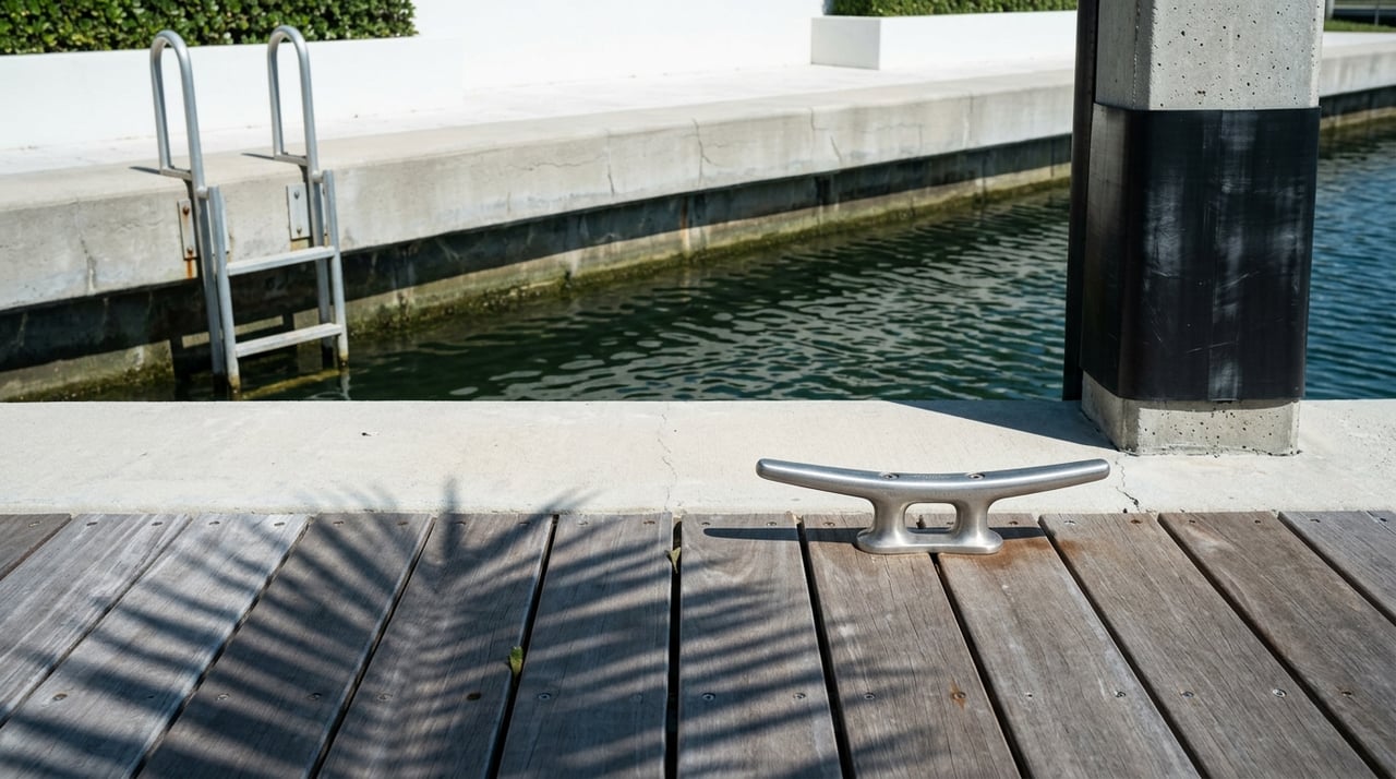
In Fort Lauderdale, the shoreline is one of the first things you should evaluate carefully. A dock, seawall, or pile system may look updated, but appearance alone does not tell you whether the work was permitted, inspected, or completed to current standards.
Broward County oversees aquatic and wetland resource licenses that include docks and seawalls, and the county’s environmental review process handles approvals for shoreline work. That means a waterfront home can involve county-level records in addition to city records, especially when dredging, repairs, or seawall work were part of the project.
Check Dock And Seawall Condition
Before you buy, look closely at the dock and seawall for signs of movement, cracking, uneven surfaces, or visible wear. These issues do not always mean the property is a bad fit, but they can point to future costs or a need for deeper review.
Fort Lauderdale also ties dock elevation to its seawall rules. Under the city code, docks installed under the rule must be floating or fixed at an elevation consistent with the seawall standard, or level with the city seawall, whichever is greater.
Review Permit History Carefully
One of the smartest steps you can take is requesting the full permit history for any shoreline improvements. Fort Lauderdale’s seawall and dock permit checklist calls for building permits, signed and sealed plans, surveys showing elevations, special inspector forms for pile installation, and a final survey after completion.
If those records are missing, treat that as a real warning sign. Missing approvals or incomplete files can mean the work deserves a closer marine-engineering review before you close.
Know The Current Seawall Standard
Fort Lauderdale’s current ULDR treats seawalls, seawall caps, and similar shoreline features as tidal flood barriers. The code requires new or substantially repaired barriers to have a minimum top elevation of 5.0 feet NAVD88, with a phased exception for certain applications submitted before January 1, 2035.
The same code defines substantial repair or rehabilitation as work affecting more than 50% of shoreline length or more than 50% of replacement cost. For you as a buyer, that matters because future repairs may trigger standards that did not apply when the home was originally built.
Confirm The Property’s Paper Trail
A waterfront purchase in Fort Lauderdale is often as much about documentation as it is about location. Clean records can help you understand what was built, when it was built, and whether the work passed through the proper approval channels.
Fort Lauderdale says it can only process permit applications for addresses inside city limits, while Broward County also has its own permitting role for shoreline-related work. So when you review a property file, you want to confirm the improvements were handled in the correct jurisdiction.
Use City And County Records
Fort Lauderdale’s permit portal, LauderBuild, lets anyone search record status and general information. That makes it one of the fastest ways to check whether prior dock or seawall work appears to have a clean record.
At the same time, county-side approvals may also be relevant. If the property had dredging, dock work, seawall work, or other shoreline changes, ask for any county or FDEP approvals that were part of the permit package.
Request These Key Documents
Before closing, ask for:
- The property’s permit history
- Final surveys
- Signed and sealed plans for dock or seawall work
- Elevation surveys showing existing and proposed conditions
- Any county shoreline approvals
- Any FDEP dredge or shoreline approvals used for the work
- Pile inspection sign-off, if piles were installed
These are not just nice-to-have records. Based on the city checklist, they are core parts of the file for shoreline improvements.
Match The Home To Your Boat
Not every Fort Lauderdale waterfront address offers the same boating experience. Two homes may both advertise water access, but actual usability can differ based on channel depth, bridge clearance, currents, and wake restrictions.
This is where many buyers make assumptions. The real question is not whether the property is on the water. The real question is whether your specific boat can safely and comfortably use that route.
Check Water Depth On The Full Route
NOAA’s nautical charts and Coast Pilot are the official references for channels, currents, bridge clearances, tides, and local navigation conditions. For a buyer, these references help answer whether the path from dock to ocean actually works for your vessel.
Nearby side channels can be much shallower than the main waterway. NOAA’s Coast Pilot notes examples in the area with depths of 7 feet in the Lauderdale Yacht Club channel, 5 feet alongside its pier and bulkhead, and other local marina approaches with single-digit-foot depths.
That is why the full dock-to-ocean route matters more than a broad claim about ocean access. If your vessel needs more depth, a short stretch of shallow water can change the whole picture.
Review Bridge Clearances
Bridge clearance is another key factor, especially if your vessel has a taller air draft. NOAA’s Coast Pilot gives the Fort Lauderdale Southeast 17th Street bridge an authorized clearance of 55 feet at the center.
That number can be helpful, but it should not be the only number you review. You should check the full route from the property to your intended destination because one lower bridge along the way can limit the home’s boating utility.
Pay Attention To Current And Wake Rules
Water conditions also affect daily usability. NOAA notes that New River has strong currents above the Southeast Sixth Avenue Tunnel, that the range of tide increases toward the mouth, and that speed in New River is limited to no wake.
The Coast Pilot also states that speed in Stranahan River is limited to no wake. If you plan to use your boat often, these operating conditions can affect convenience, travel time, and how comfortable the route feels.
Check For New Slow-Speed Zones
Fort Lauderdale’s boating rules can change over time. The city announced a new year-round slow-speed, minimum-wake zone between the Oakland Park Boulevard Bridge and the Sunrise Boulevard Bridge, connecting existing no-wake bridge areas and overlapping a seasonal manatee zone.
If a property sits in or near an active wake-restricted corridor, you should treat that as both a lifestyle factor and an operating constraint. It may not be a deal breaker, but it should absolutely be part of your decision.
Review Flood Exposure Early
Flood due diligence should happen early in your buying process, not after you are already emotionally committed to the home. In waterfront areas, flood zone and elevation details can affect insurance requirements, financing, future improvements, and your overall ownership costs.
Broward County’s current flood zone maps became effective July 31, 2024. The county says its interactive viewer shows both current and superseded flood zones and provides the parcel’s base flood elevation.
Understand Flood Zone Basics
FEMA identifies Zones A and V families as Special Flood Hazard Areas. FEMA also says flood insurance is required for most loans on properties in the Special Flood Hazard Area.
Even when coverage is not mandated, Broward advises property owners and renters to consider flood insurance. For you as a buyer, this means flood risk is not just a lender issue. It is a practical budget and planning issue as well.
Check Base Flood Elevation
Base flood elevation is one of the most important numbers to review for a waterfront property. Broward says the flood maps provide parcel-level base flood elevation, and those maps are used by insurance companies and must be used for new construction and substantial improvements.
This number can help you understand how the home sits relative to floodplain standards and whether future work may involve added compliance requirements. It is also useful when comparing one waterfront home to another.
Use The Same Elevation Datum
In Broward County, NAVD88 is the vertical datum used for floodplain management and flood insurance purposes. Fort Lauderdale’s shoreline code uses that same datum.
That consistency matters. Seawall height, finished-floor references, and flood compliance all need to be reviewed on the same basis so you are comparing numbers accurately.
Ask Better Questions Before Closing
When you buy waterfront property, a better question is often more valuable than a faster offer. You want to know not only what the home looks like today, but also how the shoreline was built, how the waterway functions, and how the property fits your long-term plans.
A strong due diligence process usually includes three big checks:
- Shoreline structure and permitting
- Navigation access and boating usability
- Flood zone, elevation, and insurance exposure
If any one of those areas is unclear, slow down and get answers before closing. A waterfront home can be an exceptional purchase, but only when the details support the lifestyle and operating reality you expect.
If you are comparing Fort Lauderdale waterfront homes and want practical guidance on dockage, navigation, and property positioning, Team Van Zyl can help you evaluate the details that matter.
FAQs
What should you check first when buying a Fort Lauderdale waterfront home?
- Start with the shoreline improvements, including the dock, seawall, visible condition, and permit history for any prior work.
Why does permit history matter for a Fort Lauderdale dock or seawall?
- Permit history helps confirm whether shoreline work was approved, documented, and completed with the records the city checklist calls for, such as plans, inspections, and final surveys.
How do you know if a Fort Lauderdale waterfront home works for your boat?
- You should review the full route from the property to open water for depth, bridge clearances, currents, and no-wake or slow-speed restrictions.
What flood information should you review for a Fort Lauderdale waterfront property?
- Check the current flood zone, base flood elevation, and whether the property falls within a Special Flood Hazard Area that may affect insurance and financing.
Why does NAVD88 matter when buying a waterfront home in Broward County?
- NAVD88 is the elevation datum Broward uses for floodplain management and flood insurance, and Fort Lauderdale uses the same basis for shoreline code standards like seawall height.